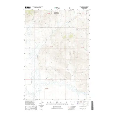
2017 Map of Antelope Peak
USGS Topo · Published 2017About this map
Antelope Peak stands as the primary topographical landmark within this high-elevation landscape, which transitions from the steep, timbered slopes of the Beaverhead National Forest into the broad basin of the Centennial Valley. This area is defined by its complex drainage network, where numerous watercourses such as Middle Cr and Long Cr descend from the ridges to feed the meandering Red Rock River at the valley floor. The placement of the Ruby Divide Rd and N Valley Rd reflects the fundamental logistics of the range, following the natural contours of the terrain to connect remote forest parcels with the river corridor. To the northeast, the distinct form of Lone Butte punctuates the horizon, marking the edge of a region where the vast public lands of the forest meet the open expanses of the southern Montana ranching country.
Find a feature on this map
27 named features on this map. Tap any name to fly to it.
Don’t see what you’re looking for? This feature index may not catch every label — zoom into the map to look around manually.
Map Details
Editions of this 2017 Antelope Peak Map
This is the sole edition of this map. No revisions or reprints were ever made.
Other maps of this area

1950 · Lower Red Rock Lake
USGS Topo · 1:62,500

1950 · Monument Ridge
USGS Topo · 1:62,500

1955 · Dubois
USGS Topo · 1:250,000

1955 · Ashton
USGS Topo · 1:250,000

1958 · Dubois
USGS Topo · 1:250,000

1958 · Ashton
USGS Topo · 1:250,000

1960 · Ashton
USGS Topo · 1:250,000

1968 · Stonehouse Mountain
USGS Topo · 1:24,000

1968 · Corral Creek
USGS Topo · 1:24,000

1968 · Big Table Mountain
USGS Topo · 1:24,000