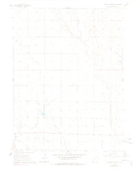
1960 Map of Antelope Reservoir
USGS Topo · Published 1978About this map
Pierce Oil Field dominates the southwestern corner of this Weld County landscape, revealing the industrial footprint of petroleum extraction in the mid-20th century. The area is defined by an extensive network of water management infrastructure essential for High Plains agriculture, including the Lone Tree Ditch and several lateral systems like the Pierce Lateral and Burger-Gault Lateral. These man-made channels feed significant local catchments such as Antelope Reservoir and the Rowe Brothers Reservoir, illustrating how the arid terrain was modified to support farming.
Find a feature on this map
22 named features on this map. Tap any name to fly to it.
Don’t see what you’re looking for? This feature index may not catch every label — zoom into the map to look around manually.
Map Details
Editions of this 1960 Antelope Reservoir Map
2 editions found
Other maps of this area

1908 · Eaton
USGS Topo · 1:125,000

1910 · Eaton
USGS Topo · 1:125,000

1954 · Greeley
USGS Topo · 1:250,000

1957 · Greeley
USGS Topo · 1:250,000

1958 · Greeley
USGS Topo · 1:250,000
1960 · Severance
USGS Topo · 1:24,000

1960 · Purcell
USGS Topo · 1:24,000
1960 · Eaton
USGS Topo · 1:24,000
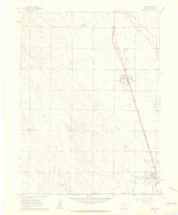
1960 · Nunn
USGS Topo · 1:24,000
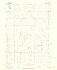
1960 · Galeton
USGS Topo · 1:24,000