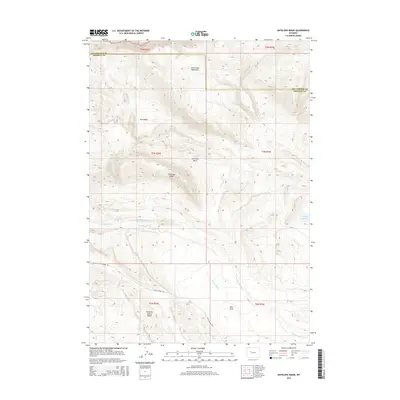
2015 Map of Antelope Ridge
USGS Topo · Published 2015About this map
The Owl Creek Mountains dominate the northern terrain of this quadrangle, transitioning into the topographic depressions of Red Basin and Antelope Basin. This landscape is defined by its water management and elevation, where Antelope Ridge stands as a central landmark above the drainage of Dry Muddy Cr. Evidence of ranching and resource management is visible through features like Pearl Reservoir, its subsequent Enlargement Pearl Reservoir, and the Bargee Reservoir to the east. To the south, the geologic prominence of Maverick Spring Dome rises near Circle Ridge Rd, which provides the primary access through this part of Fremont County. The map captures a high-desert environment where names like Trickle Spring and Antelope Springs reflect the critical importance of isolated water sources in the Wyoming backcountry.
Find a feature on this map
23 named features on this map. Tap any name to fly to it.
Don’t see what you’re looking for? This feature index may not catch every label — zoom into the map to look around manually.
Map Details
Editions of this 2015 Antelope Ridge Map
This is the sole edition of this map. No revisions or reprints were ever made.
Other maps of this area

1904 · Kirwin
USGS Topo · 1:125,000

1906 · Kirwin
USGS Topo · 1:125,000

1951 · Eagle Point
USGS Topo · 1:24,000

1951 · Maverick Spring
USGS Topo · 1:24,000

1952 · Antelope Ridge
USGS Topo · 1:24,000

1952 · Crowheart NE
USGS Topo · 1:24,000

1952 · Bargee
USGS Topo · 1:24,000

1955 · Thermopolis
USGS Topo · 1:250,000

1957 · Crowheart NE
USGS Topo · 1:24,000

1958 · Thermopolis
USGS Topo · 1:250,000