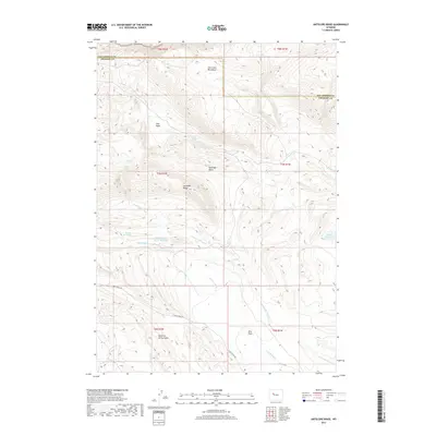
2017 Map of Antelope Ridge
USGS Topo · Published 2017About this map
The Owl Creek Mountains form a prominent backdrop for this remote Wyoming landscape, where the border between Hot Springs and Fremont counties cuts across the high terrain. The area is defined by its complex geological features, most notably the Maverick Spring Dome in the southwest and the long spine of Antelope Ridge that separates Red Basin from the Antelope Basin.
Find a feature on this map
22 named features on this map. Tap any name to fly to it.
Don’t see what you’re looking for? This feature index may not catch every label — zoom into the map to look around manually.
Map Details
Editions of this 2017 Antelope Ridge Map
This is the sole edition of this map. No revisions or reprints were ever made.
Other maps of this area

1904 · Kirwin
USGS Topo · 1:125,000

1906 · Kirwin
USGS Topo · 1:125,000

1951 · Eagle Point
USGS Topo · 1:24,000

1951 · Maverick Spring
USGS Topo · 1:24,000

1952 · Antelope Ridge
USGS Topo · 1:24,000

1952 · Crowheart NE
USGS Topo · 1:24,000

1952 · Bargee
USGS Topo · 1:24,000

1955 · Thermopolis
USGS Topo · 1:250,000

1957 · Crowheart NE
USGS Topo · 1:24,000

1958 · Thermopolis
USGS Topo · 1:250,000