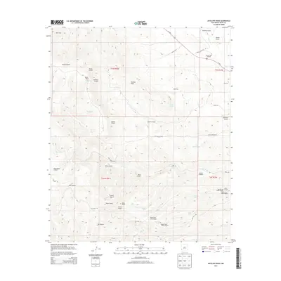
2013 Map of Antelope Ridge
USGS Topo · Published 2013About this map
Antelope Ridge and the surrounding high country of Grant County are defined by a complex network of canyons and vital water management points. This modern topographic survey illustrates how the landscape is tied together by named drainages like Duck Cr and Lobo Cr, alongside a significant inventory of stock tanks such as Mud Flat Tank, Tadpole Tank, and the CCC Tank. These features, along with names like Pitts Pasture Tank, suggest a long-standing reliance on carefully managed water sources in this arid environment.
Find a feature on this map
49 named features on this map. Tap any name to fly to it.
Don’t see what you’re looking for? This feature index may not catch every label — zoom into the map to look around manually.
Map Details
Editions of this 2013 Antelope Ridge Map
This is the sole edition of this map. No revisions or reprints were ever made.
Other maps of this area

1910 · Mogollon
USGS Topo · 1:125,000

1912 · Mogollon
USGS Topo · 1:125,000

1954 · Silver City
USGS Topo · 1:250,000

1954 · Clifton
USGS Topo · 1:250,000

1957 · Clifton
USGS Topo · 1:250,000

1958 · Silver City
USGS Topo · 1:250,000

1958 · Clifton
USGS Topo · 1:250,000

1959 · Steeple Rock
USGS Topo · 1:62,500

1959 · Cliff
USGS Topo · 1:62,500

1962 · Silver City
USGS Topo · 1:250,000