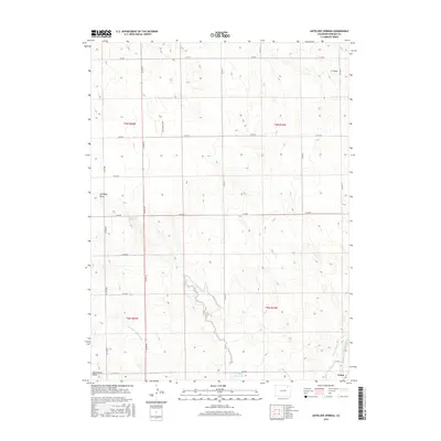
2016 Map of Antelope Springs
USGS Topo · Published 2016About this map
The high plains of eastern Morgan County are defined by a sophisticated network of water management and rural section lines in this 2016 survey. Near the settlement of Union, the landscape transitions from open range into a corridor of irrigation infrastructure, including the Riverside Intake Canal, Snyder Canal, and North Sterling Canal. These artificial waterways cut across natural topographic features like Antelope Draw and Dead Horse Draw, illustrating the region's reliance on diverted water for agricultural viability. Grounded by the presence of Antelope Springs and the Headley Reservoir, the map also documents local industry through the Sand Gravel Mine. The regular grid of county roads, such as Co RD 29 and Co RD Ii, provides a clear view of the modern land divisions that have organized this territory since the early township and range surveys.
Find a feature on this map
27 named features on this map. Tap any name to fly to it.
Don’t see what you’re looking for? This feature index may not catch every label — zoom into the map to look around manually.
Map Details
Editions of this 2016 Antelope Springs Map
This is the sole edition of this map. No revisions or reprints were ever made.
Other maps of this area

1951 · Dead Horse Springs
USGS Topo · 1:24,000

1951 · Willard
USGS Topo · 1:24,000

1951 · Messex
USGS Topo · 1:24,000

1951 · Brush West
USGS Topo · 1:24,000

1951 · Antelope Springs
USGS Topo · 1:24,000

1951 · Merino SW
USGS Topo · 1:24,000

1951 · Brush East
USGS Topo · 1:24,000

1954 · Sterling
USGS Topo · 1:250,000

1958 · Sterling
USGS Topo · 1:250,000

1971 · Brush East
USGS Topo · 1:24,000