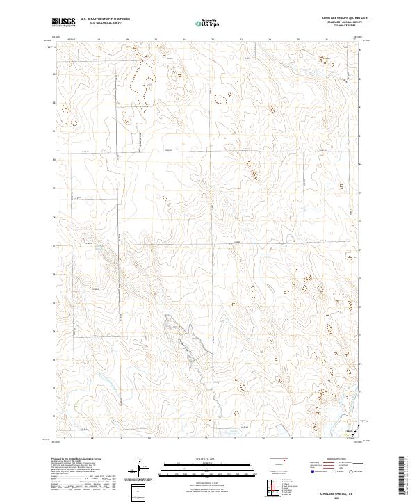
2022 Map of Antelope Springs
USGS Topo · Published 2022About this map
Antelope Springs and the surrounding high plains of Morgan County are defined by a complex irrigation network essential to the region's agricultural character. This modern survey illustrates the distribution of water from the South Platte River system through the Riverside Intake Canal and Snyder Canal, which feed into local catchments like the Headley Reservoir. The small settlement of Union sits at the southern edge of the quadrangle, serving as a focal point for the surrounding farm and ranch land. Natural drainages like Antelope Draw and L F Draw cut through the terrain, contrasting with the engineered precision of the North Sterling Canal. Industrial activity is represented by a Sand Gravel Mine, highlighting the local extraction economy that operates alongside these critical water management systems.
Find a feature on this map
26 named features on this map. Tap any name to fly to it.
Don’t see what you’re looking for? This feature index may not catch every label — zoom into the map to look around manually.
Map Details
Editions of this 2022 Antelope Springs Map
This is the sole edition of this map. No revisions or reprints were ever made.
Other maps of this area

1951 · Dead Horse Springs
USGS Topo · 1:24,000

1951 · Willard
USGS Topo · 1:24,000

1951 · Messex
USGS Topo · 1:24,000

1951 · Brush West
USGS Topo · 1:24,000

1951 · Antelope Springs
USGS Topo · 1:24,000

1951 · Merino SW
USGS Topo · 1:24,000

1951 · Brush East
USGS Topo · 1:24,000

1954 · Sterling
USGS Topo · 1:250,000

1958 · Sterling
USGS Topo · 1:250,000

1971 · Brush East
USGS Topo · 1:24,000