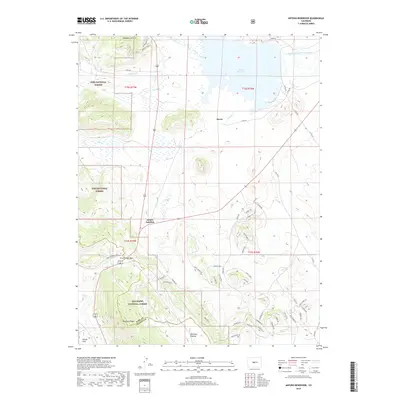
2019 Map of Antero Reservoir
USGS Topo · Published 2019About this map
Antero Reservoir dominates the high-altitude basin of South Park in this 2019 survey, serving as a focal point for the South Fork South Platte River and several tributary streams like Salt Cr and Buffalo Cr. The map captures a high mountain landscape defined by the intersection of US Highway 285 and Highway 24 at Antero Junction. This intersection marks a critical pass through the Pike National Forest and San Isabel National Forest, which cover the western and southern reaches of the quadrangle.
Find a feature on this map
60 named features on this map. Tap any name to fly to it.
Don’t see what you’re looking for? This feature index may not catch every label — zoom into the map to look around manually.
Map Details
Editions of this 2019 Antero Reservoir Map
This is the sole edition of this map. No revisions or reprints were ever made.
Other maps of this area

1889 · Leadville
USGS Topo · 1:125,000

1891 · Leadville
USGS Topo · 1:125,000

1942 · Leadville
USGS Topo · 1:125,000

1953 · Denver
USGS Topo · 1:250,000

1954 · Pueblo
USGS Topo · 1:250,000

1955 · Buena Vista
USGS Topo · 1:62,500

1956 · Garo
USGS Topo · 1:24,000

1956 · Antero Reservoir
USGS Topo · 1:24,000

1956 · Antero Reservoir NE
USGS Topo · 1:24,000

1956 · Hartsel
USGS Topo · 1:24,000