
1956 Map of Antero Reservoir
USGS Topo · Published 1957About this map
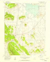
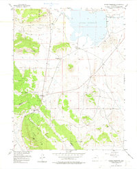
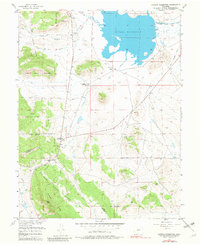
The Antero Reservoir dominates the high-altitude basin of South Park, where the South Fork South Platte River winds through a landscape defined by ranching and early transportation corridors. The map highlights the intersection of commerce and geography at Antero Junction and along the Old Grade Railroad, which traces a path toward Trout Creek Pass. Ranching heritage is well-documented through legacy holdings such as J P Ranch, Cole Ranch, and the Salt Works Ranch, the latter located near the natural mineral source of Salt Spring. High-country transitions are evident where the Pike National Forest and San Isabel National Forest meet at the Park Co Chaffee Co line. The presence of the now-abandoned settlement of Haver and various gravel pits suggests a shift in the local economy as mid-century infrastructure evolved.
Find a feature on this map
23 named features on this map. Tap any name to fly to it.
Don’t see what you’re looking for? This feature index may not catch every label — zoom into the map to look around manually.
Map Details
Editions of this 1956 Antero Reservoir Map
4 editions found
Other maps of this area

1889 · Leadville
USGS Topo · 1:125,000

1891 · Leadville
USGS Topo · 1:125,000

1942 · Leadville
USGS Topo · 1:125,000

1953 · Denver
USGS Topo · 1:250,000

1954 · Pueblo
USGS Topo · 1:250,000

1955 · Buena Vista
USGS Topo · 1:62,500

1956 · Garo
USGS Topo · 1:24,000

1956 · Antero Reservoir NE
USGS Topo · 1:24,000

1956 · Hartsel
USGS Topo · 1:24,000

1956 · Montrose
USGS Topo · 1:250,000