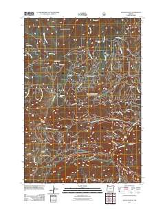
2011 Map of Anthony Butte
USGS Topo · Published 2011About this map
Anthony Butte dominates the central landscape of this Union County region, serving as a primary landmark in a terrain defined by high-elevation meadows and vital water sources. The area functions as a critical resource zone, evidenced by the La Grande Watershed and a complex network of forest roads like Ladd Canyon Rd and Indiana Mine Rd. This infrastructure supports a seasonal and industrial economy of timber and recreation, with sites like the North Fork Anthony Campground and Webfoot Meadow marking the high-country landscape.
Find a feature on this map
35 named features on this map. Tap any name to fly to it.
Don’t see what you’re looking for? This feature index may not catch every label — zoom into the map to look around manually.
Map Details
Editions of this 2011 Anthony Butte Map
This is the sole edition of this map. No revisions or reprints were ever made.
Other maps of this area

1901 · Sumpter
USGS Topo · 1:125,000

1953 · Pendleton
USGS Topo · 1:250,000

1955 · Canyon City
USGS Topo · 1:250,000

1956 · Pendleton
USGS Topo · 1:250,000

1959 · Canyon City
USGS Topo · 1:250,000

1965 · Limber Jim Creek
USGS Topo · 1:24,000

1965 · Anthony Butte
USGS Topo · 1:24,000
1965 · Glass Hill
USGS Topo · 1:24,000
1965 · Tucker Flat
USGS Topo · 1:24,000

1965 · Little Beaver Creek
USGS Topo · 1:24,000