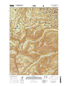
2017 Map of Anthony Lakes
USGS Topo · Published 2017About this map
Whitman National Forest dominates this high-elevation landscape where Union, Baker, and Grant counties meet. The area is defined by a dense concentration of glacial tarns and alpine features, most notably the Anthony Lakes cluster, which includes Lilypad Lake, Black Lake, and the nearby Grande Ronde Lake. These water bodies serve as the headwaters for several significant drainage systems, including Antone Cr and the N Powder River.
Find a feature on this map
91 named features on this map. Tap any name to fly to it.
Don’t see what you’re looking for? This feature index may not catch every label — zoom into the map to look around manually.
Map Details
Editions of this 2017 Anthony Lakes Map
This is the sole edition of this map. No revisions or reprints were ever made.
Other maps of this area

1901 · Sumpter
USGS Topo · 1:125,000

1953 · Pendleton
USGS Topo · 1:250,000

1955 · Canyon City
USGS Topo · 1:250,000

1956 · Pendleton
USGS Topo · 1:250,000

1959 · Canyon City
USGS Topo · 1:250,000

1965 · Limber Jim Creek
USGS Topo · 1:24,000

1965 · Anthony Butte
USGS Topo · 1:24,000
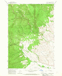
1965 · Tucker Flat
USGS Topo · 1:24,000
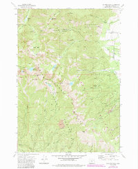
1972 · Elkhorn Peak
USGS Topo · 1:24,000

1972 · Mt. Ireland
USGS Topo · 1:24,000