
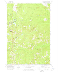
1972 Map of Mt. Ireland
USGS Topo · Published 1976About this map
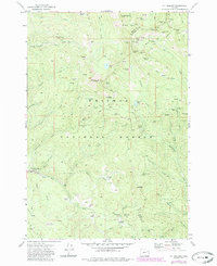
Whitman National Forest dominates this section of the Blue Mountains, where the high-elevation terrain is defined by a dense concentration of hard-rock mining claims. The northeastern corner, particularly around Cable Cove, reveals an intensive history of extraction with named workings like the California Mine, Imperial Eagle Mine, and Mormon Boy Mine clustered along the steep ridges. These mines are connected by a network of Pack Trails and Jeep Trails, indicating the difficult access to these remote lodes.
Find a feature on this map
69 named features on this map. Tap any name to fly to it.
Don’t see what you’re looking for? This feature index may not catch every label — zoom into the map to look around manually.
Map Details
Editions of this 1972 Mt. Ireland Map
2 editions found
Other maps of this area

1901 · Sumpter
USGS Topo · 1:125,000

1955 · Canyon City
USGS Topo · 1:250,000

1959 · Canyon City
USGS Topo · 1:250,000

1961 · Whitney
USGS Topo · 1:24,000

1972 · Trout Meadows
USGS Topo · 1:24,000
1972 · Bourne
USGS Topo · 1:24,000
1972 · Granite
USGS Topo · 1:24,000
1972 · Sumpter
USGS Topo · 1:24,000

1972 · Greenhorn
USGS Topo · 1:24,000
1972 · Anthony Lakes
USGS Topo · 1:24,000