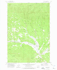
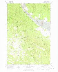
1961 Map of Whitney
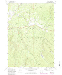
USGS Topo · Published 1976About this map
The Sumpter Valley Railroad corridor anchors this portion of the Whitman National Forest, tracing the path of the narrow-gauge line that once served the region's timber and gold interests. Along the North Fork Burnt River, the town of Whitney stands as a central point of settlement, complete with its nearby Cem and a Water Tank. The surrounding landscape is heavily marked by the area's extractive history, from the Dredge Tailings along the riverbanks to the Corey & Meadows Placer and the Ranes & Borger Mine in the northern hills.
Find a feature on this map
66 named features on this map. Tap any name to fly to it.
Don’t see what you’re looking for? This feature index may not catch every label — zoom into the map to look around manually.
Map Details
Editions of this 1961 Whitney Map
This is the sole edition of this map. No revisions or reprints were ever made.
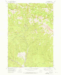
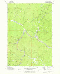
Other maps of this area

1901 · Sumpter
USGS Topo · 1:125,000

1955 · Canyon City
USGS Topo · 1:250,000

1959 · Canyon City
USGS Topo · 1:250,000
1972 · Austin
USGS Topo · 1:24,000

1972 · Mt. Ireland
USGS Topo · 1:24,000
1972 · Bourne
USGS Topo · 1:24,000
1972 · Granite
USGS Topo · 1:24,000
1972 · Sumpter
USGS Topo · 1:24,000
1972 · Greenhorn
USGS Topo · 1:24,000
1972 · Unity Reservoir
USGS Topo · 1:24,000