
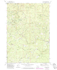
1972 Map of Greenhorn
USGS Topo · Published 1976About this map
Greenhorn stands as a focal point in this mountainous region where the borders of Grant and Baker counties meet. The landscape is defined by an intensive history of extraction, evidenced by the numerous mining claims dotting the slopes, including the IXL Mine, Bonanza Mine, and the Humboldt Mine. These operations were supported by complex water systems like the Orofino Ditch and McWillis Ditch, which redirected mountain streams to support hydraulic or milling processes.
Find a feature on this map
70 named features on this map. Tap any name to fly to it.
Don’t see what you’re looking for? This feature index may not catch every label — zoom into the map to look around manually.
Map Details
Editions of this 1972 Greenhorn Map
2 editions found
Other maps of this area

1901 · Sumpter
USGS Topo · 1:125,000

1951 · Bates
USGS Topo · 1:62,500

1951 · Desolation Butte
USGS Topo · 1:62,500

1955 · Canyon City
USGS Topo · 1:250,000

1959 · Canyon City
USGS Topo · 1:250,000

1961 · Whitney
USGS Topo · 1:24,000

1972 · Austin
USGS Topo · 1:24,000

1972 · Mt. Ireland
USGS Topo · 1:24,000
1972 · Granite
USGS Topo · 1:24,000
1972 · Pogue Point
USGS Topo · 1:24,000