
1972 Map of Trout Meadows
USGS Topo · Published 1975About this map
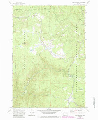
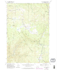
The Umatilla National Forest and Whitman National Forest converge in this high-country landscape, where the legacy of hydraulic mining is etched into the earth. The North Fork John Day River winds through the southern portion of the quadrangle, flanked by the Klopp Placer Mine and the Thornburg Placer Mine. These sites, along with visible Dredge Tailings further downstream, highlight a period of intensive resource extraction along the riverbanks.
Find a feature on this map
36 named features on this map. Tap any name to fly to it.
Don’t see what you’re looking for? This feature index may not catch every label — zoom into the map to look around manually.
Map Details
Editions of this 1972 Trout Meadows Map
3 editions found
Other maps of this area

1901 · Sumpter
USGS Topo · 1:125,000

1951 · Desolation Butte
USGS Topo · 1:62,500

1953 · Pendleton
USGS Topo · 1:250,000

1955 · Canyon City
USGS Topo · 1:250,000

1956 · Pendleton
USGS Topo · 1:250,000

1959 · Canyon City
USGS Topo · 1:250,000

1965 · Limber Jim Creek
USGS Topo · 1:24,000

1965 · Fly Valley
USGS Topo · 1:24,000

1967 · Tower Mtn
USGS Topo · 1:24,000

1972 · Mt. Ireland
USGS Topo · 1:24,000