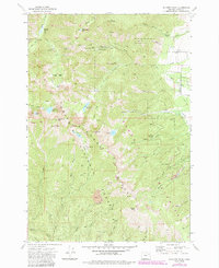
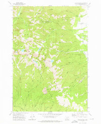
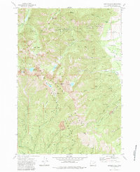
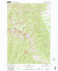
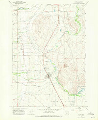
1972 Map of Elkhorn Peak
USGS Topo · Published 1972About this map
Mining operations and high-altitude trails define this 1970s survey of the Blue Mountains. The rugged landscape within the Whitman National Forest is marked by a legacy of resource extraction, centered on the complex surrounding the Baisley-Elkhorn Mine, including its upper and lower workings. Other historical prospects such as the Chloride Mine, Maxwell Mine, and Excuse Mine are scattered across the high ridges and basins.
Find a feature on this map
41 named features on this map. Tap any name to fly to it.
Don’t see what you’re looking for? This feature index may not catch every label — zoom into the map to look around manually.
Map Details
Editions of this 1972 Elkhorn Peak Map
4 editions found
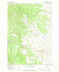
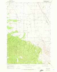
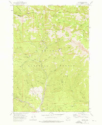
Other maps of this area

1901 · Baker City
USGS Topo · 1:125,000

1901 · Sumpter
USGS Topo · 1:125,000

1955 · Baker
USGS Topo · 1:250,000

1955 · Canyon City
USGS Topo · 1:250,000

1959 · Baker
USGS Topo · 1:250,000

1959 · Canyon City
USGS Topo · 1:250,000
1967 · Haines
USGS Topo · 1:24,000
1967 · Blue Canyon
USGS Topo · 1:24,000
1967 · Wingville
USGS Topo · 1:24,000
1972 · Bourne
USGS Topo · 1:24,000