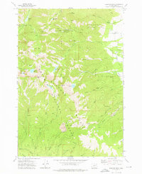
1972 Map of Elkhorn Peak
USGS Topo · Published 1976About this map
The high peaks and mining claims of the Whitman National Forest dominate this 1970s survey, illustrating a landscape defined by its extractive history and alpine hydrology. Heavy mining activity is concentrated in the northern sections, where the Baisley-Elkhorn Mine, Highland Mine, and Maxwell Mine were established among the steep drainages. These sites are linked by a network of steep trails and tracks, including a jeep trail that navigates the difficult terrain between Hunt Mountain and the headwaters of Pine Creek.
Find a feature on this map
46 named features on this map. Tap any name to fly to it.
Don’t see what you’re looking for? This feature index may not catch every label — zoom into the map to look around manually.
Map Details
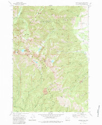
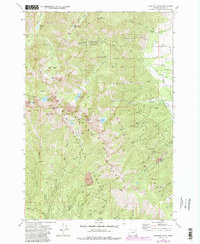
Editions of this 1972 Elkhorn Peak Map
4 editions found
Other maps of this area

1901 · Baker City
USGS Topo · 1:125,000

1901 · Sumpter
USGS Topo · 1:125,000

1955 · Baker
USGS Topo · 1:250,000

1955 · Canyon City
USGS Topo · 1:250,000

1959 · Baker
USGS Topo · 1:250,000

1959 · Canyon City
USGS Topo · 1:250,000
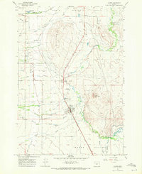
1967 · Haines
USGS Topo · 1:24,000

1967 · Blue Canyon
USGS Topo · 1:24,000
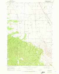
1967 · Wingville
USGS Topo · 1:24,000
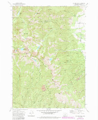
1972 · Elkhorn Peak
USGS Topo · 1:24,000