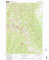
1972 Map of Elkhorn Peak
USGS Topo · Published 1985About this map
Highland Mine and the complex of Baisley Elkhorn Mine workings anchor this high-elevation survey of the Baker region, reflecting the significant hard-rock mining legacy along the Elkhorn Crest. The map reveals a high-altitude landscape where industrial ambition met steep terrain, evidenced by several ruins and mine sites scattered between Hunt Mountain and Marble Point. Water management is a primary theme, with a sophisticated system of high-mountain storage and conveyance including Willow Creek Lake, Goodrich Lake, and the Pine Creek Reservoir. Downslope, a network of ditches and a flume trace the effort to move water from the snow-fed peaks of the Whitman National Forest to lower-lying valleys. In addition to the mining infrastructure, the map documents the National Recreation Trail and various jeep trails that provided access to remote locations like Eilertson Meadow.
Find a feature on this map
56 named features on this map. Tap any name to fly to it.
Don’t see what you’re looking for? This feature index may not catch every label — zoom into the map to look around manually.
Map Details
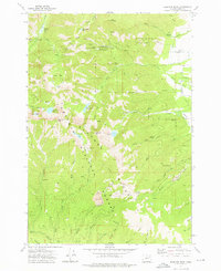
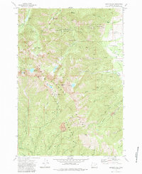
Editions of this 1972 Elkhorn Peak Map
4 editions found
Other maps of this area

1901 · Baker City
USGS Topo · 1:125,000

1901 · Sumpter
USGS Topo · 1:125,000

1955 · Baker
USGS Topo · 1:250,000

1955 · Canyon City
USGS Topo · 1:250,000

1959 · Baker
USGS Topo · 1:250,000

1959 · Canyon City
USGS Topo · 1:250,000
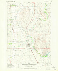
1967 · Haines
USGS Topo · 1:24,000

1967 · Blue Canyon
USGS Topo · 1:24,000
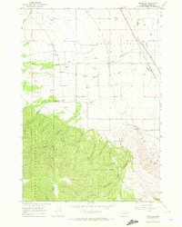
1967 · Wingville
USGS Topo · 1:24,000
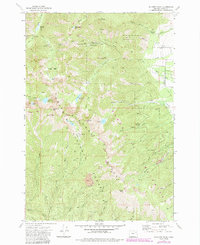
1972 · Elkhorn Peak
USGS Topo · 1:24,000