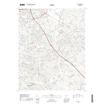
2019 Map of Antioch
USGS Topo · Published 2019About this map
Antioch and the surrounding suburban reaches of southeast Davidson County are defined by a complex network of commuter arteries and expanding neighborhoods. The landscape is carved by Mill Creek and its many tributaries, including Sevenmile Creek and Sorghum Branch, which wind through established communities like Woodbine, Radnor, and Tusculum. Historically significant family burial grounds such as Whitsett Cem, Cane Ridge Cem, and Foster-Owens Cem are preserved among modern residential developments and the industrial footprint of the nearby Nashville International Airport. Higher elevations at Holt Knob and Patterson Knob provide topographical contrast to the busy corridors of Nolensville Pike and Murfreesboro Pike. This detailed survey documents the intersection of legacy rural landmarks, like the Mill Creek Baptist Church, with the rapid urban growth south of Nashville near the Davidson and Williamson County line.
Find a feature on this map
46 named features on this map. Tap any name to fly to it.
Don’t see what you’re looking for? This feature index may not catch every label — zoom into the map to look around manually.
Map Details
Editions of this 2019 Antioch Map
This is the sole edition of this map. No revisions or reprints were ever made.
Other maps of this area

1903 · Nashville
USGS Topo · 1:125,000

1909 · Franklin
USGS Topo · 1:62,500

1932 · Hermitage
USGS Topo · 1:62,500

1932 · Nashville
USGS Topo · 1:62,500

1942 · Lebanon
USGS Topo · 1:100,000

1949 · Franklin
USGS Topo · 1:24,000

1952 · Hermitage
USGS Topo · 1:24,000

1952 · Nashville West
USGS Topo · 1:24,000

1952 · La Vergne
USGS Topo · 1:24,000

1952 · Nashville East
USGS Topo · 1:24,000