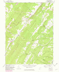
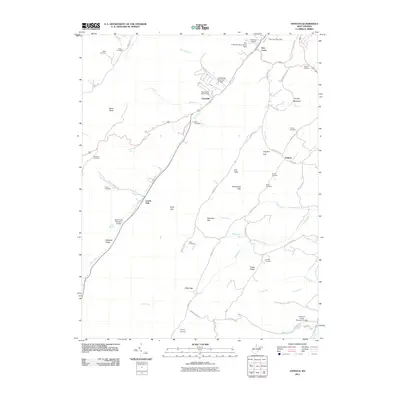
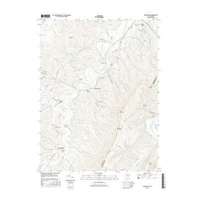
1967 Map of Antioch
USGS Topo · Published 1982About this map
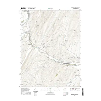
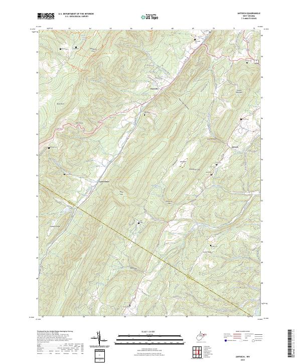
The Nancy Hanks Memorial stands as a focal point of historical interest on this ridge-and-valley landscape, marking a site tied to the ancestry of Abraham Lincoln. The map reveals a tight relationship between the terrain and human settlement, with small communities like Antioch and Claysville situated along the narrow valley floors. Transportation and industry are defined by the geography of the Allegheny Front and the Knobs, where Strip Mines and several quarries appear alongside the drainage of New Creek. Rural life is etched into the map through numerous small landmarks, including Rees Chapel, Sunnyside Church, and the Davis Cemetery. The document effectively illustrates the complex topography of New Creek Mountain and Knobly Mountain, showing the gaps and ridges such as Grayson Gap and Hamricks Gap that dictated the routes of local travel in the mid-20th century.
Find a feature on this map
39 named features on this map. Tap any name to fly to it.
Don’t see what you’re looking for? This feature index may not catch every label — zoom into the map to look around manually.
Map Details
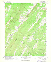
Editions of this 1967 Antioch Map
2 editions found
Historical Maps of Laurel Dale Through Time
18 maps found
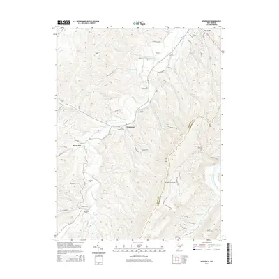
1967 Antioch
Mineral County, WV
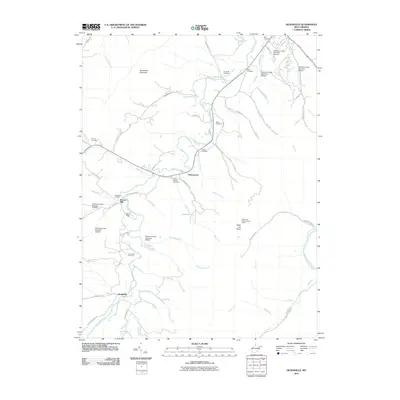
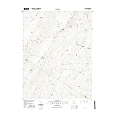
1973 Headsville
Mineral County, WV
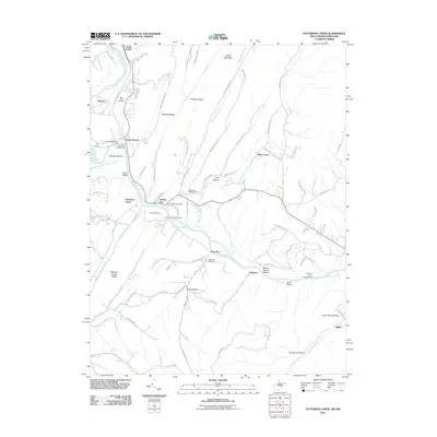
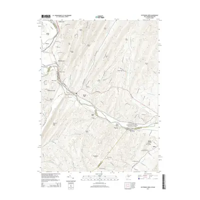
1996 Patterson Creek
Mineral County, WV
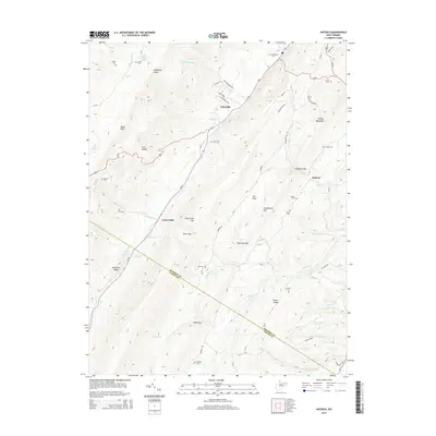
2011 Antioch
Mineral County, WV
2011 Headsville
Mineral County, WV
2011 Patterson Creek
Mineral County, WV
2014 Antioch
Mineral County, WV
2014 Headsville
Mineral County, WV
2014 Patterson Creek
Mineral County, WV
2016 Antioch
Mineral County, WV
2016 Headsville
Mineral County, WV
2016 Patterson Creek
Mineral County, WV
2019 Antioch
Mineral County, WV
2019 Headsville
Mineral County, WV
2019 Patterson Creek
Mineral County, WV
2023 Antioch
Mineral County, WV
2023 Headsville
Mineral County, WV
2023 Patterson Creek
Mineral County, WV