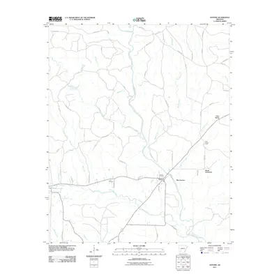
2011 Map of Antoine
USGS Topo · Published 2011About this map
The Antoine River and its complex network of tributaries define the landscape of this southwestern Arkansas region in the early twenty-first century. The small community of Antoine sits at the heart of the area, serving as a focal point where multiple county roads and local routes like Millcreek Rd and Lightfoot Rd converge. To the east, the map reveals distinct residential and historical clusters including Meeks Settlement and Pike Junction, while the northern reaches show the recreational or seasonal influence of Clear Spring Camp near Clear Spring.
Find a feature on this map
63 named features on this map. Tap any name to fly to it.
Don’t see what you’re looking for? This feature index may not catch every label — zoom into the map to look around manually.
Map Details
Editions of this 2011 Antoine Map
This is the sole edition of this map. No revisions or reprints were ever made.
Other maps of this area

1901 · Gurdon
USGS Topo · 1:125,000

1906 · Caddo Gap
USGS Topo · 1:125,000

1943 · Antoine
USGS Topo · 1:62,500

1951 · Pisgah
USGS Topo · 1:24,000

1953 · El Dorado
USGS Topo · 1:250,000

1955 · Little Rock
USGS Topo · 1:250,000

1956 · Little Rock
USGS Topo · 1:250,000

1957 · El Dorado
USGS Topo · 1:250,000

1958 · El Dorado
USGS Topo · 1:250,000

1960 · El Dorado
USGS Topo · 1:250,000