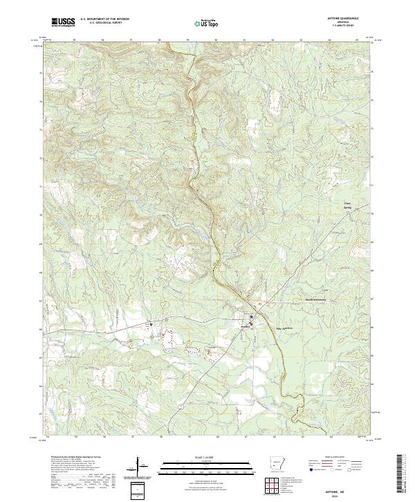
2024 Map of Antoine
USGS Topo · Published 2024About this map
The Antoine River carves through the landscape of the Arkansas timberlands, serving as the defining border between Pike and Clark counties. This survey captures the rural character of the region, where the small community of Antoine sits at the junction of Main St and School St. Further east, Pike Junction and Meeks Settlement highlight the historical clustering of family homesteads and local trade points along the road networks.
Find a feature on this map
95 named features on this map. Tap any name to fly to it.
Don’t see what you’re looking for? This feature index may not catch every label — zoom into the map to look around manually.
Map Details
Editions of this 2024 Antoine Map
This is the sole edition of this map. No revisions or reprints were ever made.
Other maps of this area

1901 · Gurdon
USGS Topo · 1:125,000

1906 · Caddo Gap
USGS Topo · 1:125,000

1943 · Antoine
USGS Topo · 1:62,500

1951 · Pisgah
USGS Topo · 1:24,000

1953 · El Dorado
USGS Topo · 1:250,000

1955 · Little Rock
USGS Topo · 1:250,000

1956 · Little Rock
USGS Topo · 1:250,000

1957 · El Dorado
USGS Topo · 1:250,000

1958 · El Dorado
USGS Topo · 1:250,000

1960 · El Dorado
USGS Topo · 1:250,000