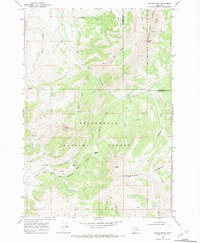
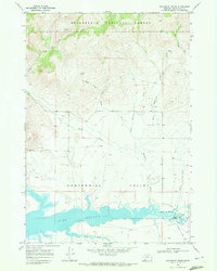
1968 Map of Antone Peak
USGS Topo · Published 1981About this map
The high peaks and ridgelines of the Snowcrest Range dominate this late 1960s survey of the border between Beaverhead and Madison counties. The landscape is defined by the headwaters of the East Fork Blacktail Deer Creek, where a network of primitive routes like the Sawtooth Trail and Lodgepole Trail provided the primary access for forest management and local ranching.
Find a feature on this map
33 named features on this map. Tap any name to fly to it.
Don’t see what you’re looking for? This feature index may not catch every label — zoom into the map to look around manually.
Map Details
Editions of this 1968 Antone Peak Map
3 editions found
Other maps of this area

1955 · Dubois
USGS Topo · 1:250,000

1958 · Dubois
USGS Topo · 1:250,000

1968 · Stonehouse Mountain
USGS Topo · 1:24,000

1968 · Whiskey Spring
USGS Topo · 1:24,000

1968 · Lima Dam
USGS Topo · 1:24,000
1968 · Price Creek NE
USGS Topo · 1:24,000

1968 · Antelope Peak
USGS Topo · 1:24,000

1968 · Antone Peak
USGS Topo · 1:24,000
1968 · Swamp Creek
USGS Topo · 1:24,000
1968 · Wolverine Creek
USGS Topo · 1:24,000