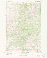
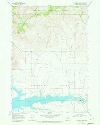
1968 Map of Antone Peak
USGS Topo · Published 1984About this map
The high-altitude drainage basins of the Snowcrest Range define this 1968 survey of the Montana backcountry. Centered on the Beaverhead National Forest, the map captures the remote administrative and seasonal infrastructure of the era, specifically the Antone Guard Station and Cornell Camp. These sites served as vital hubs for forest management and ranching operations at the headwaters of Blacktail Deer Creek and its many tributaries, such as the South Fork West Fork Blacktail Deer Creek.
Find a feature on this map
37 named features on this map. Tap any name to fly to it.
Don’t see what you’re looking for? This feature index may not catch every label — zoom into the map to look around manually.
Map Details
Editions of this 1968 Antone Peak Map
3 editions found
Other maps of this area

1955 · Dubois
USGS Topo · 1:250,000

1958 · Dubois
USGS Topo · 1:250,000

1968 · Stonehouse Mountain
USGS Topo · 1:24,000

1968 · Whiskey Spring
USGS Topo · 1:24,000

1968 · Lima Dam
USGS Topo · 1:24,000
1968 · Price Creek NE
USGS Topo · 1:24,000

1968 · Antelope Peak
USGS Topo · 1:24,000

1968 · Antone Peak
USGS Topo · 1:24,000
1968 · Swamp Creek
USGS Topo · 1:24,000
1968 · Wolverine Creek
USGS Topo · 1:24,000