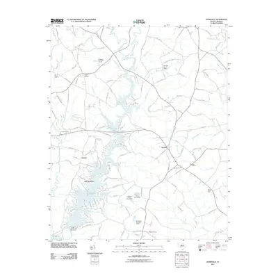
2011 Map of Antreville
USGS Topo · Published 2011About this map
Antreville stands as the central settlement in this portion of Abbeville County, situated amidst a landscape heavily defined by the winding course of the Rocky River. By the early 21st century, the river's flow was interrupted by a series of impoundments, most notably creating Secession Lake and smaller bodies such as the R Watson Pond. These water features, alongside Hencoop Creek and Beaver Creek, dictate the rural road patterns and property lines of the region.
Find a feature on this map
128 named features on this map. Tap any name to fly to it.
Don’t see what you’re looking for? This feature index may not catch every label — zoom into the map to look around manually.
Map Details
Editions of this 2011 Antreville Map
This is the sole edition of this map. No revisions or reprints were ever made.
Other maps of this area

1892 · Abbeville
USGS Topo · 1:125,000

1893 · Elberton
USGS Topo · 1:125,000

1948 · Abbeville West
USGS Topo · 1:24,000

1949 · Abbeville
USGS Topo · 1:24,000

1954 · Greenville
USGS Topo · 1:250,000

1958 · Greenville
USGS Topo · 1:250,000

1964 · Iva
USGS Topo · 1:24,000

1964 · Antreville
USGS Topo · 1:24,000

1964 · Lowndesville
USGS Topo · 1:24,000

1964 · Saylors Crossroads
USGS Topo · 1:24,000