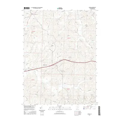
2016 Map of Antrim
USGS Topo · Published 2016About this map
Middlebourne and Antrim anchor this portion of Guernsey County, where the landscape is defined by the dendritic drainage of several prominent forks. The settlement pattern follows the high ridges and winding valley floors, with small clusters of homes and family farms linked by a dense network of township and county roads. The area's deep roots are visible through its numerous community burial grounds, such as the Antrim Presbyterian Cem and the Salt-Fork Baptist Cem, often situated near early church foundations.
Find a feature on this map
87 named features on this map. Tap any name to fly to it.
Don’t see what you’re looking for? This feature index may not catch every label — zoom into the map to look around manually.
Map Details
Editions of this 2016 Antrim Map
This is the sole edition of this map. No revisions or reprints were ever made.
Other maps of this area

1903 · Flushing
USGS Topo · 1:62,500

1905 · Woodsfield
USGS Topo · 1:62,500

1905 · Flushing
USGS Topo · 1:62,500

1909 · Antrim
USGS Topo · 1:48,000

1909 · Summerfield
USGS Topo · 1:62,500

1911 · Antrim
USGS Topo · 1:62,500

1911 · Summerfield
USGS Topo · 1:62,500

1949 · Clarksburg
USGS Topo · 1:250,000

1951 · Canton
USGS Topo · 1:250,000

1953 · Canton
USGS Topo · 1:250,000