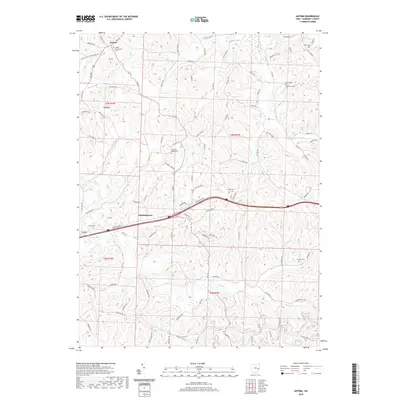
2019 Map of Antrim
USGS Topo · Published 2019About this map
Antrim and Middlebourne anchor this portion of Guernsey County, where the landscape is defined by the winding drainages of the Salt Fork and its numerous tributaries. The region's settlement history is etched into the terrain through a high density of small burial grounds, including the Antrim Presbyterian Cem and Salt Fork Baptist Cem. These sites, alongside others like Pisgah Cem and Fletcher Cem, suggest a deeply rooted rural community structure organized around early church congregations and family plots. The topography is notably marked by Hogback, a distinctive ridge feature, while several forks—Brushy Fork, Millers Fork, and Skull Fork—carve the upland into a complex network of narrow valleys and ridges. Transport follows these natural contours, with roads like Bridgewater Rd and Cadiz Rd connecting the scattered homesteads and small hamlets across the township boundaries of t3n r1w and t10n r7w.
Find a feature on this map
92 named features on this map. Tap any name to fly to it.
Don’t see what you’re looking for? This feature index may not catch every label — zoom into the map to look around manually.
Map Details
Editions of this 2019 Antrim Map
This is the sole edition of this map. No revisions or reprints were ever made.
Other maps of this area

1903 · Flushing
USGS Topo · 1:62,500

1905 · Woodsfield
USGS Topo · 1:62,500

1905 · Flushing
USGS Topo · 1:62,500

1909 · Antrim
USGS Topo · 1:48,000

1909 · Summerfield
USGS Topo · 1:62,500

1911 · Antrim
USGS Topo · 1:62,500

1911 · Summerfield
USGS Topo · 1:62,500

1949 · Clarksburg
USGS Topo · 1:250,000

1951 · Canton
USGS Topo · 1:250,000

1953 · Canton
USGS Topo · 1:250,000