
1946 Map of Antrim
USGS Topo · Published 1963About this map
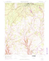
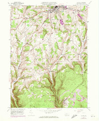
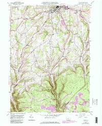
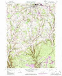
Wellsboro serves as the focal point in this postwar landscape, where the Boro Boundary gives way to the agricultural and wooded expanses of Delmar and Charleston townships. The mapping reveals a community defined by its schools and social institutions, from the Wellsboro Country Club to the County Home and the Heise Run Sch. To the south, the settlement of Antrim is linked by the New York Central railroad, which follows the winding course of Wilson Creek through deep valleys like Broughton Hollow. The terrain is punctuated by significant elevations such as Russell Hill and Shumway Hill, with smaller rural clusters like Stony Fork and Balsam connected by a network of creeks including Kelsey Creek and Morris Branch. This 1940s survey preserves the location of family-named sites such as Butler Cem and Shumway Cem before further modernization.
Find a feature on this map
46 named features on this map. Tap any name to fly to it.
Don’t see what you’re looking for? This feature index may not catch every label — zoom into the map to look around manually.
Map Details
Editions of this 1946 Antrim Map
5 editions found
Other maps of this area

1900 · Tioga
USGS Topo · 1:62,500

1900 · Elkland
USGS Topo · 1:62,500

1902 · Tioga
USGS Topo · 1:62,500

1925 · Blossburg
USGS Topo · 1:62,500

1927 · Blossburg
USGS Topo · 1:62,500

1944 · Blossburg
USGS Topo · 1:62,500

1946 · Tiadaghton
USGS Topo · 1:24,000

1946 · Antrim
USGS Topo · 1:62,500

1946 · Cedar Run
USGS Topo · 1:24,000

1946 · Morris
USGS Topo · 1:24,000
Featured Places
- Wellsboro, PA
- Morris Township, PA
- Duncan Township, PA
- Stony Fork, Delmar Township
- Pitts, Charleston Township