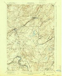
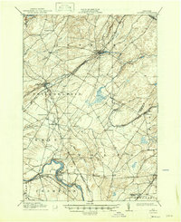
1911 Map of Antwerp
USGS Topo · Published 1942About this map
Antwerp and Philadelphia serve as the primary hubs for this region of Jefferson County at the dawn of the 20th century, connected by the extensive tracks of the New York Central and Hudson River RR. The landscape is defined by the winding course of the Indian River and Black Creek, which powered early industrial sites like Woods Mill. Local genealogy is well-preserved through numerous crossroads settlements such as Cattail Corners, Bentleys Corners, and Strickland Corners, alongside the military grounds at Pine Camp. In the south, the industrial character shifts as the railroad follows the Black River through manufacturing and transit points like Great Bend, Deferiet, and Herrings. This 1908–1909 survey records a transition period for Northern New York, capturing a network of hamlets and rural school districts before the consolidation of the mid-century.
Find a feature on this map
49 named features on this map. Tap any name to fly to it.
Don’t see what you’re looking for? This feature index may not catch every label — zoom into the map to look around manually.
Map Details
Editions of this 1911 Antwerp Map
6 editions found
Other maps of this area

1895 · Watertown
USGS Topo · 1:62,500

1898 · Watertown
USGS Topo · 1:62,500

1902 · Carthage
USGS Topo · 1:62,500

1903 · Alexandria Bay
USGS Topo · 1:62,500

1903 · Theresa
USGS Topo · 1:62,500

1904 · Carthage
USGS Topo · 1:62,500

1908 · Watertown
USGS Topo · 1:62,500

1909 · Watertown
USGS Topo · 1:62,500

1911 · Antwerp
USGS Topo · 1:62,500

1911 · Lowville
USGS Topo · 1:62,500