2023 Map of Antwerp
USGS Topo · Published 2023About this map
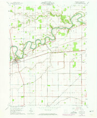
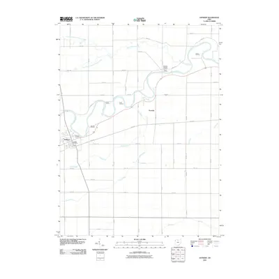
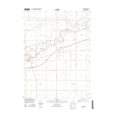
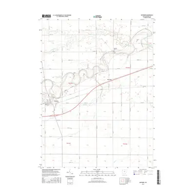
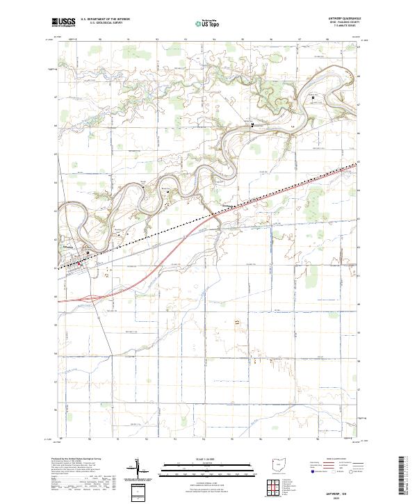
The Maumee River winds sharply through this corner of Northwest Ohio, defining the rural landscape of Paulding County. In the village of Antwerp, the street grid sits tight against the riverbanks, where local history is anchored by Riverside Cem and Maumee Cem. The surrounding territory is a dense network of agricultural drainage and family-named landmarks, reflecting generations of land use in the Black Swamp region. Numerous small burial grounds like Gordon Cem, Banks Cem, and Slough Cem are scattered across the township lines, often tucked into the bends of the river or along tributaries like Marie DeLarme Creek. Moving east toward Knoxdale, the terrain opens into a systematic grid of township and county roads, punctuated by North Creek and South Creek, which drain the flat plains toward the primary river valley.
Find a feature on this map
82 named features on this map. Tap any name to fly to it.
Don’t see what you’re looking for? This feature index may not catch every label — zoom into the map to look around manually.
Map Details
Editions of this 2023 Antwerp Map
This is the sole edition of this map. No revisions or reprints were ever made.
Historical Maps of Antwerp Through Time
6 maps found