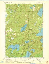
1970 Map of Anvil Lake
USGS Topo · Published 1972About this map
The Nicolet National Forest dominates this northern Wisconsin landscape, where dense woodlands are interspersed with dozens of glacial lakes and springs. Centered on Anvil Lake, the map documents a region defined by outdoor recreation and forest management in the early 1970s. The presence of the Anvil Lake Lookout Tower and multiple designated campsites like Franklin Lake Campground and Sevenmile Lake Campground highlights the area's role as a public wilderness retreat.
Find a feature on this map
45 named features on this map. Tap any name to fly to it.
Don’t see what you’re looking for? This feature index may not catch every label — zoom into the map to look around manually.
Map Details
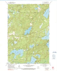
Editions of this 1970 Anvil Lake Map
2 editions found
Other maps of this area

1928 · Three Lakes
USGS Topo · 1:48,000

1938 · Phelps
USGS Topo · 1:48,000

1938 · Alvin
USGS Topo · 1:48,000

1938 · Three Lakes
USGS Topo · 1:48,000

1945 · Three Lakes
USGS Topo · 1:48,000

1946 · Alvin
USGS Topo · 1:48,000

1950 · Phelps
USGS Topo · 1:48,000

1954 · Iron Mountain
USGS Topo · 1:250,000

1956 · Beechwood
USGS Topo · 1:62,500

1956 · Phelps
USGS Topo · 1:62,500