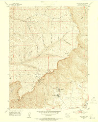
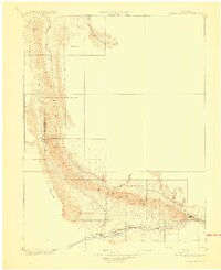
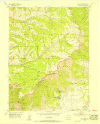
1952 Map of Anvil Points
USGS Topo · Published 1955About this map
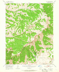
The Naval Oil Shale Reserve dominates this high-altitude landscape of Garfield County, documenting a critical era in American energy research following World War II. The map highlights the extensive operations of the Anvil Points Oil Shale Mines and the Bureau of Mines Oil Shale Experiment Station, including a dedicated Tank Farm and housing at Glover Park. This industrial activity is set against the dramatic geography of the Roan Plateau and the sheer Roan Cliffs, where landmarks like East Anvil Point and West Anvil Point overlook the valley floor. To the southeast, the terrain softens toward Webster Mesa and the D & R G W railroad line, illustrating the logistical connections between the remote extraction sites and the broader regional infrastructure.
Find a feature on this map
38 named features on this map. Tap any name to fly to it.
Don’t see what you’re looking for? This feature index may not catch every label — zoom into the map to look around manually.
Map Details
Editions of this 1952 Anvil Points Map
10 editions found
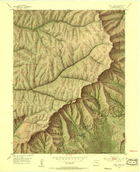
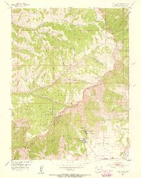
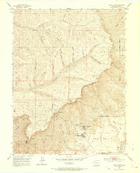

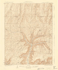
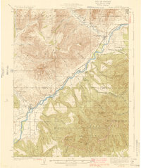
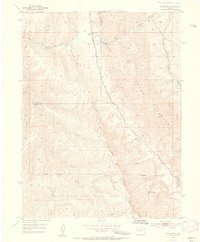
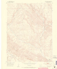
Other maps of this area

1906 · Grand Hogback
USGS Topo · 1:125,000
1910 · Grand Hogback
USGS Topo · 1:125,000

1925 · Parachute Creek
USGS Topo · 1:62,500
1927 · Parachute Creek
USGS Topo · 1:62,500
1929 · Grand Valley
USGS Topo · 1:62,500
1952 · Rio Blanco
USGS Topo · 1:24,000
1952 · Anvil Points
USGS Topo · 1:24,000
1952 · Horse Mountain
USGS Topo · 1:24,000
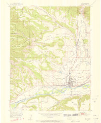
1952 · Rifle
USGS Topo · 1:24,000

1956 · Grand Junction
USGS Topo · 1:250,000