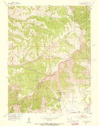
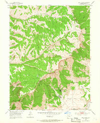
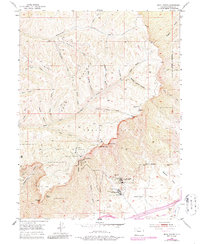
1952 Map of Anvil Points
USGS Topo · Published 1955About this map
The Naval Oil Shale Reserve dominates this 1952 topographic study, showcasing the strategic industrial development of the Roan Plateau during the early Cold War era. At the heart of the landscape is the Bureau of Mines Oil Shale Experiment Station, accompanied by a Tank Farm and the Anvil Points Oil Shale Mines. These facilities, carved into the dramatic verticality of the Roan Cliffs, illustrate the mid-century effort to extract fuel from the region's geological formations.
Find a feature on this map
46 named features on this map. Tap any name to fly to it.
Don’t see what you’re looking for? This feature index may not catch every label — zoom into the map to look around manually.
Map Details
Editions of this 1952 Anvil Points Map
10 editions found
Other maps of this area

1906 · Grand Hogback
USGS Topo · 1:125,000

1910 · Grand Hogback
USGS Topo · 1:125,000

1925 · Parachute Creek
USGS Topo · 1:62,500

1927 · Parachute Creek
USGS Topo · 1:62,500

1929 · Grand Valley
USGS Topo · 1:62,500

1952 · Rio Blanco
USGS Topo · 1:24,000

1952 · Anvil Points
USGS Topo · 1:24,000

1952 · Horse Mountain
USGS Topo · 1:24,000

1952 · Rifle
USGS Topo · 1:24,000

1956 · Grand Junction
USGS Topo · 1:250,000