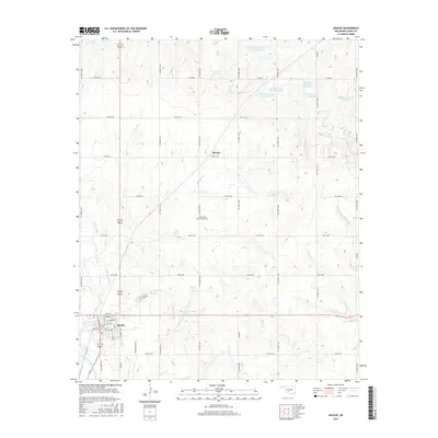
2016 Map of Apache
USGS Topo · Published 2016About this map
Apache serves as the primary hub of this Caddo County landscape, its grid of streets such as Elm St and Walnut St providing a clear center of gravity for the surrounding agricultural region. To the north, the small settlement of Stecker sits along the section lines, part of a sprawling network of county roads that crisscross the terrain. The landscape is defined by its complex water management, evidenced by the numerous catchment areas including the Tonkawa Creek Site 6 Reservoir and several related basins to the east.
Find a feature on this map
49 named features on this map. Tap any name to fly to it.
Don’t see what you’re looking for? This feature index may not catch every label — zoom into the map to look around manually.
Map Details
Editions of this 2016 Apache Map
This is the sole edition of this map. No revisions or reprints were ever made.
Other maps of this area

1945 · Anadarko
USGS Topo · 1:62,500

1949 · Cement
USGS Topo · 1:62,500

1949 · Elgin
USGS Topo · 1:24,000

1951 · Fort Cobb
USGS Topo · 1:62,500

1955 · Lawton
USGS Topo · 1:250,000

1955 · Clinton
USGS Topo · 1:250,000

1956 · Fletcher
USGS Topo · 1:24,000

1956 · Boone
USGS Topo · 1:24,000

1956 · Elgin
USGS Topo · 1:24,000

1956 · Richards Spur
USGS Topo · 1:24,000