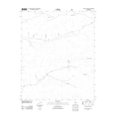
2012 Map of Apache Canyon
USGS Topo · Published 2012About this map
Apache Canyon and the high desert terrain of Kern County are defined by a network of seasonal drainages and remote mountain roads in this 2012 survey. The landscape is characterized by its potreros—large natural meadows or pastures—including Apache Potrero and Cowhead Potrero in the northern reaches. Human presence is sparse, centered on the Dorman Ranch and recreational sites like the Nettle Spring Campground. A series of vital water sources are documented across the arid landscape, such as Blue Rock Spring, Mystery Spring, and Nettle Spring. Transport through the region relies on established routes including Quatal Canyon Rd and Apache Cyn Rd, which follow the natural contours of the deep valleys and San Emigdio Mesa.
Find a feature on this map
14 named features on this map. Tap any name to fly to it.
Don’t see what you’re looking for? This feature index may not catch every label — zoom into the map to look around manually.
Map Details
Editions of this 2012 Apache Canyon Map
This is the sole edition of this map. No revisions or reprints were ever made.
Other maps of this area

1903 · Mt. Pinos
USGS Topo · 1:125,000

1942 · Eagle Rest Peak
USGS Topo · 1:24,000

1942 · Ballinger Canyon
USGS Topo · 1:24,000

1943 · Rancho Nuevo Creek
USGS Topo · 1:24,000

1943 · Apache Canyon
USGS Topo · 1:24,000

1943 · San Guillermo
USGS Topo · 1:24,000

1943 · Sawmill Mountain
USGS Topo · 1:24,000

1943 · Santiago Creek
USGS Topo · 1:24,000
1943 · Ballinger Canyon
USGS Topo · 1:24,000

1943 · Cuyama Peak
USGS Topo · 1:24,000