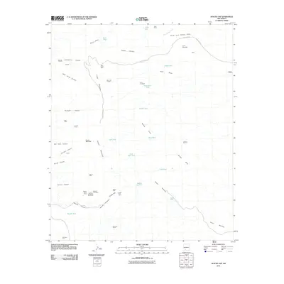
2010 Map of Apache Gap
USGS Topo · Published 2010About this map
The Caballo Mountains define this arid landscape, dominated by a long history of mineral exploration and cattle ranching. The map reveals an intensive mining corridor along the western slopes, featuring various prospects and workings such as the Sierrite Mine, the Hillside-Sierra Mine, and the Mikes Camp Mine. These sites, along with the Southern Caballo Mts Sec 23 Mine and Mary Jane Claims, point to the region's historical value for metal and mineral extraction.
Find a feature on this map
53 named features on this map. Tap any name to fly to it.
Don’t see what you’re looking for? This feature index may not catch every label — zoom into the map to look around manually.
Map Details
Editions of this 2010 Apache Gap Map
This is the sole edition of this map. No revisions or reprints were ever made.
Other maps of this area

1954 · Tularosa
USGS Topo · 1:250,000

1955 · Las Cruces
USGS Topo · 1:250,000

1958 · Las Cruces
USGS Topo · 1:250,000

1958 · Tularosa
USGS Topo · 1:250,000

1959 · Engle
USGS Topo · 1:62,500

1959 · Upham
USGS Topo · 1:62,500

1961 · Caballo
USGS Topo · 1:24,000

1961 · Williamsburg
USGS Topo · 1:24,000

1961 · Garfield
USGS Topo · 1:24,000

1979 · Truth or Consequences
USGS Topo · 1:100,000