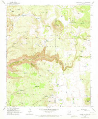
1965 Map of Apache Maid Mtn
USGS Topo · Published 1973About this map
The Coconino National Forest in the mid-1960s was a landscape defined by ranching infrastructure and fire management. Rising above the deep cuts of Mullican Canyon and Jacks Canyon, the peak of Apache Maid Mtn is marked by a prominent Lookout Tower, a critical post for forest protection. The map reveals the vital importance of water management in this arid high country, documented by dozens of named earthen tanks and family-associated locations like the Mullican Ranch, Bruce Place Tank, and Waldroup Place Tank. The terrain transitions from the volcanic heights of Table Mtn down through the drainage of Wet Beaver Creek, revealing a network of trails and jeep trails used by foresters and ranchers. This survey records the specific sites of high-country life before modern development, including the isolated Apache Maid Cabin and various pass names like Fivemile Pass that guided movement across the Yavapai and Coconino county line.
Find a feature on this map
70 named features on this map. Tap any name to fly to it.
Don’t see what you’re looking for? This feature index may not catch every label — zoom into the map to look around manually.
Map Details
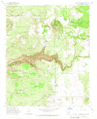
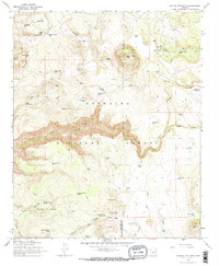
Editions of this 1965 Apache Maid Mtn Map
3 editions found
Other maps of this area

1887 · Verde
USGS Topo · 1:250,000

1892 · Verde
USGS Topo · 1:250,000

1923 · Camp Verde
USGS Topo · 1:125,000

1932 · Camp Verde
USGS Topo · 1:125,000

1936 · Camp Verde
USGS Topo · 1:125,000

1954 · Holbrook
USGS Topo · 1:250,000

1957 · Holbrook
USGS Topo · 1:250,000

1958 · Holbrook
USGS Topo · 1:250,000

1960 · Holbrook
USGS Topo · 1:250,000
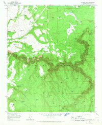
1965 · Calloway Butte
USGS Topo · 1:24,000