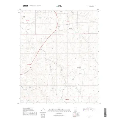
2020 Map of Apache Summit
USGS Topo · Published 2020About this map
Apache Summit sits at the high point of this landscape, where the road network transitions into a complex system of drainage basins and mountain peaks. The terrain is defined by its water management strategy, marked by numerous storage points such as Pete Gaines Tank, Goat Canyon Tank, and Telephone Tank. These features, alongside Goat Windmill, suggest a history of high-elevation ranching or land management in a semi-arid environment. The northern portion of the map is dominated by the intersecting geography of Pete Gaines Canyon and Cherokee Bill Canyon, while the southern reaches descend toward Tularosa Cr. Named landmarks like Harley Mtn overlook the deep incisions of Elk Canyon and Rock Canyon, providing clear evidence of the area's geological relief and the winding routes of the Indian Service roads that provide access to these isolated elevations.
Find a feature on this map
44 named features on this map. Tap any name to fly to it.
Don’t see what you’re looking for? This feature index may not catch every label — zoom into the map to look around manually.
Map Details
Editions of this 2020 Apache Summit Map
This is the sole edition of this map. No revisions or reprints were ever made.
Other maps of this area
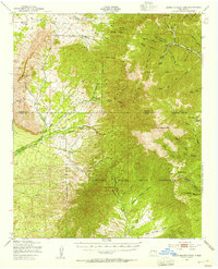
1950 · Sierra Blanca Peak
USGS Topo · 1:62,500
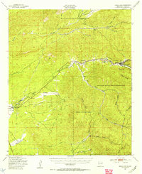
1950 · Mescalero
USGS Topo · 1:62,500
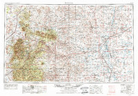
1955 · Roswell
USGS Topo · 1:250,000
1958 · Roswell
USGS Topo · 1:250,000
1962 · Roswell
USGS Topo · 1:250,000
1963 · Ruidoso Downs
USGS Topo · 1:24,000
1963 · Ruidoso
USGS Topo · 1:24,000
1963 · Firman Canyon
USGS Topo · 1:24,000
1963 · Apache Summit
USGS Topo · 1:24,000
1963 · Whitetail
USGS Topo · 1:24,000