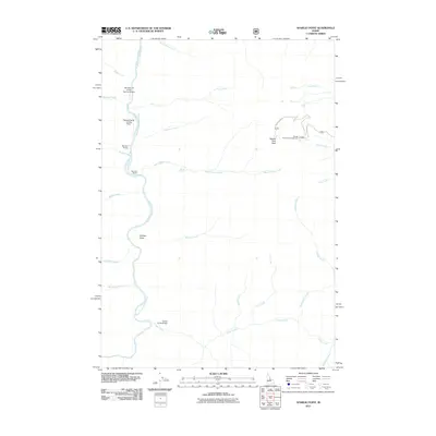
2011 Map of Aparejo Point
USGS Topo · Published 2011About this map
The Middle Fork Salmon River carves through this remote Idaho landscape, serving as the central artery for a region defined by its isolation and river-accessed homesteads. The Mormon Ranch sits along the riverbanks, illustrating the persistence of remote ranching outposts in Valley County. Transportation into this backcountry relies heavily on small-scale aviation and specialized forest roads, evidenced by the Bernard-US Forest Service Airport and the Flying B Ranch Landing Strip.
Find a feature on this map
31 named features on this map. Tap any name to fly to it.
Don’t see what you’re looking for? This feature index may not catch every label — zoom into the map to look around manually.
Map Details
Editions of this 2011 Aparejo Point Map
This is the sole edition of this map. No revisions or reprints were ever made.
Other maps of this area

1930 · Casto
USGS Topo · 1:125,000

1956 · Elk City
USGS Topo · 1:250,000

1957 · Challis
USGS Topo · 1:250,000

1960 · Elk City
USGS Topo · 1:250,000

1960 · Challis
USGS Topo · 1:250,000

1962 · Bear Creek Point
USGS Topo · 1:24,000

1962 · Hoodoo Meadows
USGS Topo · 1:24,000

1962 · Puddin Mtn
USGS Topo · 1:24,000

1962 · Dave Lewis Peak
USGS Topo · 1:24,000

1962 · Ramey Hill
USGS Topo · 1:24,000