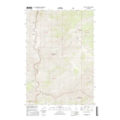
2017 Map of Aparejo Point
USGS Topo · Published 2017About this map
The Middle Fork Salmon River carves through the center of this Idaho backcountry landscape, marking the border between Valley and Lemhi counties. This 2017 survey details a remote wilderness area where aviation and river travel provide the primary access. Notable aviation landmarks include the Bernard USFS Airport and the private Flying B Ranch Landing Strip situated along the river's edge. Steep canyon walls rise to high elevations at Mid Fork Peak and along the Yellowjacket Mountains to the east.
Find a feature on this map
49 named features on this map. Tap any name to fly to it.
Don’t see what you’re looking for? This feature index may not catch every label — zoom into the map to look around manually.
Map Details
Editions of this 2017 Aparejo Point Map
This is the sole edition of this map. No revisions or reprints were ever made.
Other maps of this area

1930 · Casto
USGS Topo · 1:125,000

1956 · Elk City
USGS Topo · 1:250,000

1957 · Challis
USGS Topo · 1:250,000

1960 · Elk City
USGS Topo · 1:250,000

1960 · Challis
USGS Topo · 1:250,000

1962 · Bear Creek Point
USGS Topo · 1:24,000

1962 · Hoodoo Meadows
USGS Topo · 1:24,000

1962 · Puddin Mtn
USGS Topo · 1:24,000

1962 · Dave Lewis Peak
USGS Topo · 1:24,000

1962 · Ramey Hill
USGS Topo · 1:24,000