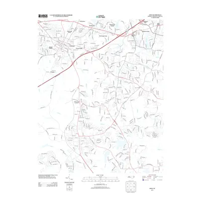
2013 Map of Apex
USGS Topo · Published 2013About this map
Bass Lake and the winding course of Middle Cr anchor the southern landscape of this 2013 survey, reflecting the suburban expansion of Wake County. The residential character of the region is evident in established neighborhoods such as MacGregor Downs, Waverly Place, and Justice Heights, which are woven between a network of major thoroughfares including US Highway 1 and NC Highway 55. Historic landmarks and crossroads like Jones Crossroads and Feltonville provide a sense of continuity amidst the modern development. The drainage patterns of the Piedmont are clearly delineated by numerous small tributaries like Dutchmans Br, Camp Br, and Speight Br, alongside larger impoundments such as R E Earp Pond and Bagwell Pond, illustrating how water resources have been managed as the area transitioned from agricultural roots to a primary residential hub.
Find a feature on this map
41 named features on this map. Tap any name to fly to it.
Don’t see what you’re looking for? This feature index may not catch every label — zoom into the map to look around manually.
Map Details
Editions of this 2013 Apex Map
This is the sole edition of this map. No revisions or reprints were ever made.
Other maps of this area

1943 · Durham South
USGS Topo · 1:62,500

1943 · Raleigh
USGS Topo · 1:62,500

1951 · Raleigh
USGS Topo · 1:62,500

1951 · Durham South
USGS Topo · 1:62,500

1953 · Raleigh
USGS Topo · 1:250,000

1954 · Raleigh
USGS Topo · 1:250,000

1964 · Lake Wheeler
USGS Topo · 1:24,000

1964 · Angier
USGS Topo · 1:24,000

1964 · Garner
USGS Topo · 1:62,500

1968 · Raleigh West
USGS Topo · 1:24,000