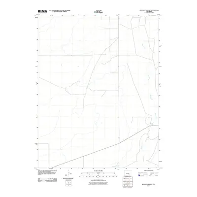
2010 Map of Apishapa Bridge
USGS Topo · Published 2010About this map
The Apishapa River cuts a distinctive course through this Pueblo County landscape, serving as the primary hydrological feature of the region. This 2010 survey by the U.S. Geological Survey illustrates the transition of the river through high plains terrain, where it is joined by the significant drainage of Saunders Arroyo. The area is sparsely developed, defined primarily by its watercourses and the infrastructure required to cross them, most notably the Apishapa Bridge which anchors the local transportation network in the southeastern portion of the quadrangle.
Find a feature on this map
3 named features on this map. Tap any name to fly to it.
Don’t see what you’re looking for? This feature index may not catch every label — zoom into the map to look around manually.
Map Details
Editions of this 2010 Apishapa Bridge Map
This is the sole edition of this map. No revisions or reprints were ever made.
Other maps of this area

1891 · Catlin
USGS Topo · 1:125,000

1891 · Timpas
USGS Topo · 1:125,000

1891 · Nepesta
USGS Topo · 1:125,000

1891 · Apishapa
USGS Topo · 1:125,000

1893 · Nepesta
USGS Topo · 1:125,000

1893 · Apishapa
USGS Topo · 1:125,000

1893 · Catlin
USGS Topo · 1:125,000

1894 · Timpas
USGS Topo · 1:125,000

1897 · Apishapa
USGS Topo · 1:125,000

1904 · Nepesta
USGS Topo · 1:125,000