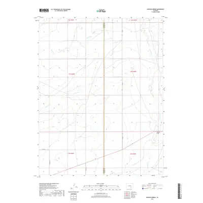
2019 Map of Apishapa Bridge
USGS Topo · Published 2019About this map
The Apishapa River cuts through this high plains landscape at the eastern edge of Pueblo County, as documented in this 2019 survey. The map's namesake landmark, Apishapa Bridge, serves as a critical crossing point in an area otherwise defined by deep seasonal drainages such as Powell Arroyo, Mustang Cr, and Saunders Arroyo. This terrain dictates the sparse infrastructure of the region, where a handful of maintained routes like Co Rd 2 and Whiterock Rd navigate the section lines. The presence of the Pueblo Co Otero Co boundary running north-to-south through the center of the quadrangle highlights the intersection of local jurisdictions. This map provides researchers and land managers with a precise record of the contemporary rangeland, showing how historical property divisions and county lines persist alongside the natural hydrology of the Arkansas River basin's tributaries.
Find a feature on this map
16 named features on this map. Tap any name to fly to it.
Don’t see what you’re looking for? This feature index may not catch every label — zoom into the map to look around manually.
Map Details
Editions of this 2019 Apishapa Bridge Map
This is the sole edition of this map. No revisions or reprints were ever made.
Other maps of this area

1891 · Catlin
USGS Topo · 1:125,000

1891 · Timpas
USGS Topo · 1:125,000

1891 · Nepesta
USGS Topo · 1:125,000

1891 · Apishapa
USGS Topo · 1:125,000

1893 · Nepesta
USGS Topo · 1:125,000

1893 · Apishapa
USGS Topo · 1:125,000

1893 · Catlin
USGS Topo · 1:125,000

1894 · Timpas
USGS Topo · 1:125,000

1897 · Apishapa
USGS Topo · 1:125,000

1904 · Nepesta
USGS Topo · 1:125,000