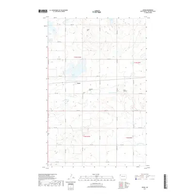
2017 Map of Appam
USGS Topo · Published 2017About this map
Appam anchors this portion of Williams County, situated just south of the sprawling Alkali Lake. The landscape is defined by the winding course of the Little Muddy River, which meanders through the southern half of the quadrangle, notably passing the distinctive curve of Horseshoe Bend. This area of the North Dakota plains is dotted with numerous glacial lakes, including Knudsvig Lake, Green Lake, Kettle Lake, and Holm Lake, illustrating the post-glacial topography of the region.
Find a feature on this map
31 named features on this map. Tap any name to fly to it.
Don’t see what you’re looking for? This feature index may not catch every label — zoom into the map to look around manually.
Map Details
Editions of this 2017 Appam Map
This is the sole edition of this map. No revisions or reprints were ever made.
Other maps of this area

1911 · Ray
USGS Topo · 1:125,000

1948 · Smoky Butte
USGS Topo · 1:24,000

1948 · Stady
USGS Topo · 1:24,000

1948 · Bright Water Lake
USGS Topo · 1:24,000

1948 · Zahl
USGS Topo · 1:24,000

1953 · Williston
USGS Topo · 1:250,000

1957 · Williston
USGS Topo · 1:250,000

1974 · Blacktail Lake
USGS Topo · 1:24,000

1974 · Twin Lakes
USGS Topo · 1:24,000

1977 · Appam
USGS Topo · 1:24,000