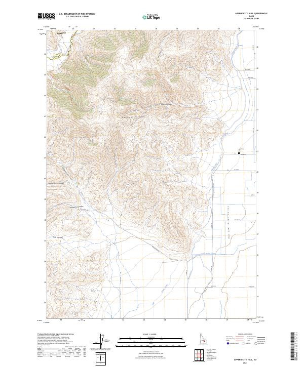
2023 Map of Appendicitis Hill
USGS Topo · Published 2023About this map
Appendicitis Hill rises above the eastern edge of the Big Lost River Valley, anchoring a landscape defined by sharp topographic relief and the essential management of water in Butte and Custer counties. The map captures the vital irrigation infrastructure that sustains this arid region, most notably the Blaine Canal, Moore Canal, and Lower Blaine Canal which follow the contours of the valley floor. To the west, the terrain is cut by several steep drainage features including Newman Canyon, Rocky Canyon, and Hammond Canyon. Local history is anchored by the Lost River Cem located near the intersection of the canals. Natural water sources like Sorenson Spring and Antelope Creek are scattered through the higher elevations, while transit is limited to rural routes such as Doyle Creek Rd.
Find a feature on this map
20 named features on this map. Tap any name to fly to it.
Don’t see what you’re looking for? This feature index may not catch every label — zoom into the map to look around manually.
Map Details
Editions of this 2023 Appendicitis Hill Map
This is the sole edition of this map. No revisions or reprints were ever made.
Other maps of this area

1935 · MacKay
USGS Topo · 1:96,000

1940 · Mackay
USGS Topo · 1:62,500

1955 · Idaho Falls
USGS Topo · 1:250,000

1958 · Idaho Falls
USGS Topo · 1:250,000

1960 · Grouse
USGS Topo · 1:62,500

1960 · Mackay
USGS Topo · 1:62,500

1969 · Darlington
USGS Topo · 1:24,000

1969 · Ramshorn Canyon
USGS Topo · 1:24,000

1972 · Arco North
USGS Topo · 1:24,000

1972 · Arco South
USGS Topo · 1:24,000