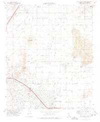
1970 Map of Apple Valley North
USGS Topo · Published 1974About this map
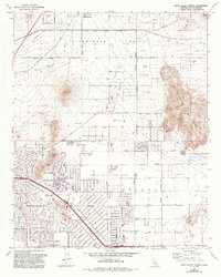
Apple Valley is depicted during a period of transition as desert rangeland gave way to suburban development in the High Desert. The map captures the organized street grid emerging south of Sidewinder Valley, with residential blocks established around local institutions like the Navajo Sch and Rancho Verde Sch. This planned growth is anchored by recreational landmarks, notably the Apple Valley Country Club and a nearby Race Track.
Find a feature on this map
77 named features on this map. Tap any name to fly to it.
Don’t see what you’re looking for? This feature index may not catch every label — zoom into the map to look around manually.
Map Details
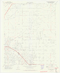
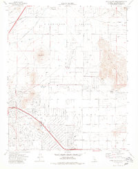
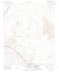
Editions of this 1970 Apple Valley North Map
5 editions found
Other maps of this area

1901 · Southern California Sheet No. 1
USGS Topo · 1:250,000

1902 · Deep Creek
USGS Topo · 1:62,500

1902 · Hesperia
USGS Topo · 1:62,500

1904 · Southern California Sheet No. 1
USGS Topo · 1:250,000

1932 · Barstow
USGS Topo · 1:125,000

1934 · Barstow
USGS Topo · 1:125,000

1942 · Hesperia
USGS Topo · 1:62,500

1953 · San Bernardino
USGS Topo · 1:250,000

1956 · San Bernardino
USGS Topo · 1:250,000
1956 · Hesperia
USGS Topo · 1:24,000
Featured Places
- Apple Valley, CA
- Desert Knolls Manor, Apple Valley
- Bell Mountain, Apple Valley
- San Bernardino County, CA
- United States