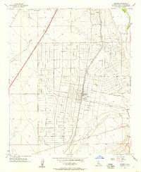
1956 Map of Hesperia
USGS Topo · Published 1957About this map
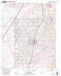
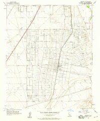
Hesperia is captured here during a period of mid-century infrastructure expansion, centered at the crossing of the Atchison Topeka and Santa Fe railroad and major local thoroughfares like Main St. The town's grid is established but still sparse, with numerous residential streets such as Sultana St and Muscatel Rd extending into the surrounding high desert. To the east, the Mojave River flows through a landscape marked by the Mojave State Fish Hatchery and early industrial activity at a Gravel Pit.
Find a feature on this map
37 named features on this map. Tap any name to fly to it.
Don’t see what you’re looking for? This feature index may not catch every label — zoom into the map to look around manually.
Map Details
Editions of this 1956 Hesperia Map
6 editions found
Other maps of this area

1901 · Southern California Sheet No. 1
USGS Topo · 1:250,000

1902 · Deep Creek
USGS Topo · 1:62,500

1902 · Hesperia
USGS Topo · 1:62,500

1904 · Southern California Sheet No. 1
USGS Topo · 1:250,000

1932 · Barstow
USGS Topo · 1:125,000

1934 · Barstow
USGS Topo · 1:125,000

1942 · Hesperia
USGS Topo · 1:62,500

1953 · San Bernardino
USGS Topo · 1:250,000

1956 · San Bernardino
USGS Topo · 1:250,000
1956 · Cajon
USGS Topo · 1:24,000