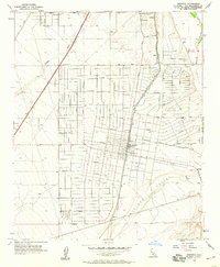
1956 Map of Hesperia
USGS Topo · Published 1984About this map
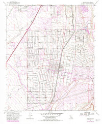
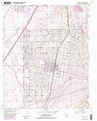
Hesperia is shown here as a grid of residential and agricultural blocks during the mid-1950s, bounded by the Antelope Valley and the Mojave River. The community's development is centered on the Atchison Topeka and Santa Fe railroad line, which runs parallel to Hesperia Road. A Fire Control Sta and a Cem mark the town's core, while the outlying landscape includes a Gravel Pit and the Mojave State Fish Hatchery to the northeast. The street names, including Main St, Eucalyptus Road, and Joshua St, reveal a community planned for growth amidst the arid terrain. Natural drainage is defined by the Oro Grande Wash, while infrastructure like the Big Bear Cutoff and Lake Arrowhead Road connect this high desert settlement to its surrounding mountain regions.
Find a feature on this map
34 named features on this map. Tap any name to fly to it.
Don’t see what you’re looking for? This feature index may not catch every label — zoom into the map to look around manually.
Map Details
Editions of this 1956 Hesperia Map
6 editions found
Other maps of this area

1901 · Southern California Sheet No. 1
USGS Topo · 1:250,000

1902 · Deep Creek
USGS Topo · 1:62,500

1902 · Hesperia
USGS Topo · 1:62,500

1904 · Southern California Sheet No. 1
USGS Topo · 1:250,000

1932 · Barstow
USGS Topo · 1:125,000

1934 · Barstow
USGS Topo · 1:125,000

1942 · Hesperia
USGS Topo · 1:62,500

1953 · San Bernardino
USGS Topo · 1:250,000

1956 · San Bernardino
USGS Topo · 1:250,000
1956 · Cajon
USGS Topo · 1:24,000