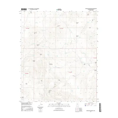
2017 Map of Applegate Mountain
USGS Topo · Published 2017About this map
Applegate Mountain and its surrounding peaks define this portion of the New Mexico landscape, dominated by a dense network of drainages and named water catchments. The terrain is segmented by deep canyons, including Henderson Canyon and Thompson Canyon, while higher elevations are marked by landmarks like Mud Spring Mtn and Dry Section Mtn.
Find a feature on this map
57 named features on this map. Tap any name to fly to it.
Don’t see what you’re looking for? This feature index may not catch every label — zoom into the map to look around manually.
Map Details
Editions of this 2017 Applegate Mountain Map
This is the sole edition of this map. No revisions or reprints were ever made.
Other maps of this area

1910 · Mogollon
USGS Topo · 1:125,000

1912 · Mogollon
USGS Topo · 1:125,000

1954 · Silver City
USGS Topo · 1:250,000

1954 · Clifton
USGS Topo · 1:250,000

1957 · Clifton
USGS Topo · 1:250,000

1958 · Silver City
USGS Topo · 1:250,000

1958 · Clifton
USGS Topo · 1:250,000

1959 · Steeple Rock
USGS Topo · 1:62,500

1959 · Cliff
USGS Topo · 1:62,500

1962 · Silver City
USGS Topo · 1:250,000