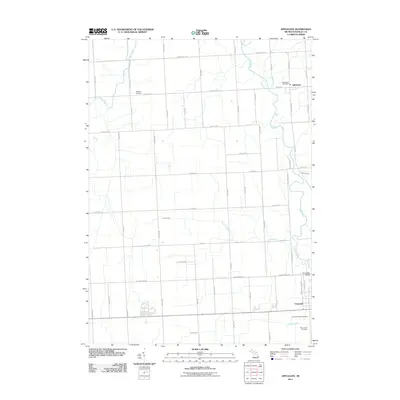
2011 Map of Applegate
USGS Topo · Published 2011About this map
The Black River meanders through this portion of Sanilac County, defining a landscape primarily organized by a rigid grid of agricultural roads. The settlement of Applegate serves as a local hub, anchored by the Applegate Post Office at the intersection of Main Rd and S Sherman Rd. To the south, the community of Croswell sits near the confluence of local waterways, including Mills Creek. Genealogists and local historians will find significant value in the documentation of several burial sites, including Steckley Cemetery in the north and the adjacent Croswell Village Cemetery and Mount Hope Cemetery near the southern boundary. The presence of Old M 51 and various drainage features like Freeman Drain illustrate the long-standing efforts to manage the low-lying terrain for cultivation.
Find a feature on this map
52 named features on this map. Tap any name to fly to it.
Don’t see what you’re looking for? This feature index may not catch every label — zoom into the map to look around manually.
Map Details
Editions of this 2011 Applegate Map
This is the sole edition of this map. No revisions or reprints were ever made.
Other maps of this area

1954 · Flint
USGS Topo · 1:250,000

1958 · Flint
USGS Topo · 1:250,000

1961 · Roseburg
USGS Topo · 1:24,000
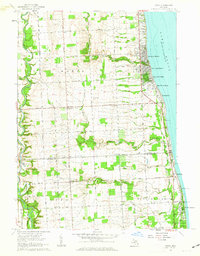
1961 · Jeddo
USGS Topo · 1:24,000

1961 · Yale
USGS Topo · 1:24,000

1963 · Sandusky
USGS Topo · 1:24,000

1963 · Peck
USGS Topo · 1:24,000

1963 · Croswell
USGS Topo · 1:24,000

1963 · Port Sanilac
USGS Topo · 1:24,000

1963 · Applegate
USGS Topo · 1:24,000